Dunoon Topographic Map - 9540-1S
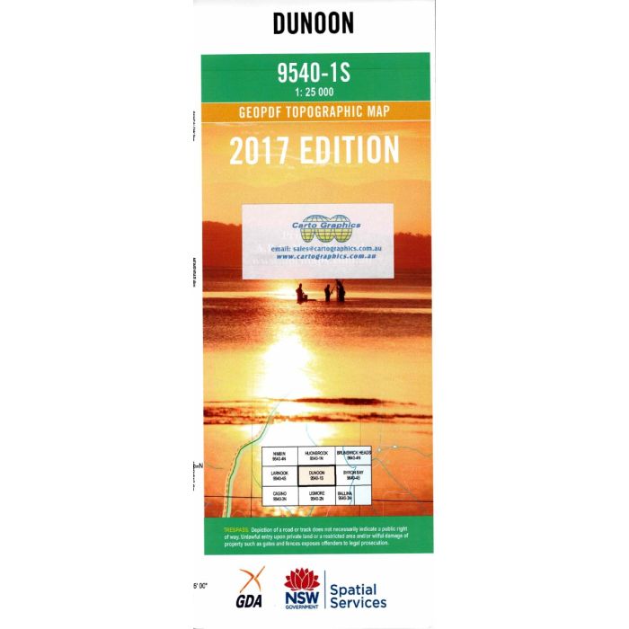
Dunoon 1:25,000 scale topographic map, 9540-1S, covering the upper Wilsons River area in northern NSW including Federal, Clunes, Dunoon, Modanville and The Channon, extending to Rocky Creek Dam and the southern portion of Nightcap National Park.
In stock
SKU
9540-1S
$16.70


Related Products
Check items to add to the cart or
| Publisher | LPI |
|---|---|
| Description | Dunoon Topographic Map, 9540-1S, 1:25,000 scale, Geopdf edition, 2017, NSW Spatial Services. |
Write Your Own Review