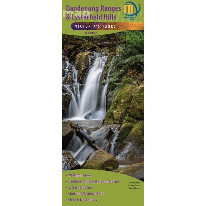
Dandenong Ranges & Lysterfield Hills - Meridian Maps
Dandenong Ranges & Lysterfield Hills - Meridian Maps
1:20,000 Scale Maps
First Edition publishing December 2021
All new mapping
Dandenong Ranges Trail
Dandenong Ranges Tourist Track
Dandenong Ranges National Park
Churchill National Park
Lysterfield Park
Track notes to 32 walks
Mountain Bike and other Tourist information
In stock
SKU
Dandenong Ranges & Lysterfield Hills - Meridian Maps
$10.95


| Publisher | Meridian Maps |
|---|---|
| Description | Double-sided 1:20,000 scale map of the Dandenong Ranges and Lysterfield Hills. First comprehensive map which covers all the parks in the area including Dandenong Ranges National Park, Churchill National Park and Lysterfield Park. 32 walks are described including the Dandenong Trail and the Dandenong Tourist Track. Shows all tourist sites, local producers, picnic grounds and walking tracks, in and around the parks. Ideal for bushwalkers, day-trippers, mountain bikers and holidaymakers. |
Write Your Own Review