Chilpuddie Topographic Map - 59324
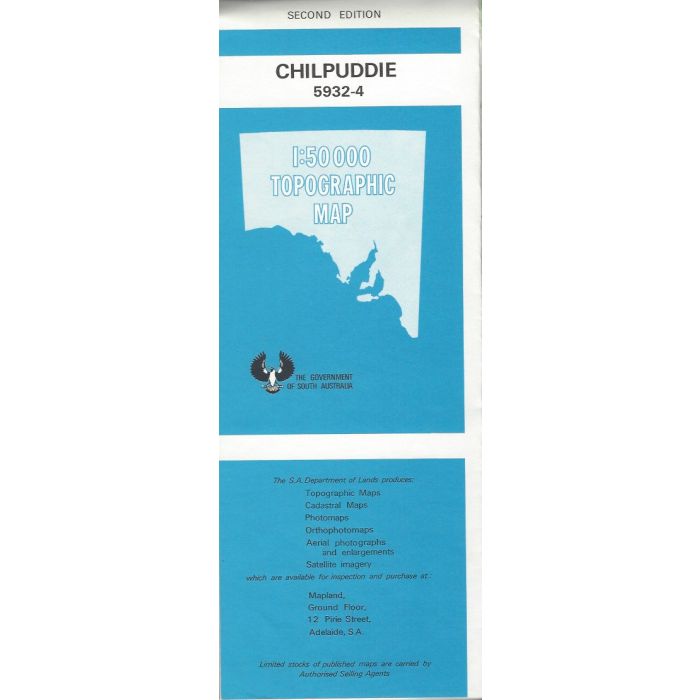
Chilpuddie, 5932-4, 1:50,000 scale topographic map covering Pheasant Hill in Gawler Ranges Conservation Park, Podinna Rock and a small portion of Gawler Ranges National Park including Mount Granite and Ponara Water, Eyre Peninsula.
In stock
SKU
59324
$12.50

Related Products
Check items to add to the cart or

| Description | Chilpuddie 1:50,000 scale topographic map, 5932-4, 2nd edition, South Australia. |
|---|
Write Your Own Review