Blyth 50k Topographic Map - TC09 Tasmap
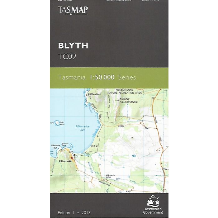
Blyth TC09 1:50,000 scale new series Tasmanian topographic map covering northern Flinders Island including Killiecrankie settlement, Wingaroo Nature Reserve, Mount Tanner, Ineer and Outer Sister Islands.
In stock
SKU
TC09
$12.95


Related Products
Check items to add to the cart or
| Publisher | Tasmap |
|---|---|
| Description | Blyth 1:50,000 scale topographic map, TC09, Tasmap edition 1, 2018. This new series map replaces the 1:100,000 scale Flinders Island and 1:25,000 scale topographic maps. |
Write Your Own Review