Wirrealpa SA Topographic Map - 66351
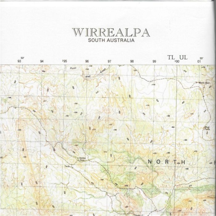
Wirrealpa, 6635-1, 1:50,000 scale (2cm=1km) South Australian topographic map covering The Bunkers and Grindstone Ranges, Artimore Creek and Wirrealpa Station in the Flinders Ranges.
In stock
SKU
66351
$12.50

| Description | Wirrealpa 1:50,000 scale topographic map, 6635-1, 2nd edition, 1987. |
|---|
Write Your Own Review