Williamtown Topographic Map - 9232-2N
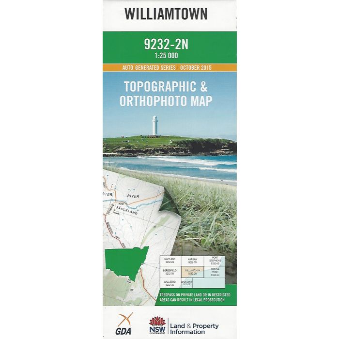
Williamtown, 9232-2N, 1:25,000 scale NSW topographic map covering Fullerton Cove, Stockton Beach, Tilligerry Creek, Salt Ash, Worimi National Park, Williamtown, Tilligerry State Conservation Area, Tomago Sandbeds and parts of Raymond Terrace, Fern Bay and Medowie. Orthophoto map image on reverse side.
In stock
SKU
9232-2N
$16.70


Related Products
Check items to add to the cart or
| Publisher | LPI |
|---|---|
| Description | Williamtown, 9232-2N, 1:25,000 scale NSW topographic map covering Fullerton Cove, Stockton Beach, Tilligerry Creek, Salt Ash, Worimi National Park, Williamtown, Tilligerry State Conservation Area, Tomago Sandbeds and parts of Raymond Terrace, Fern Bay and Medowie. Orthophoto map image on reverse side. |
Write Your Own Review