Weimby 50k Topographic Map - 7528-N
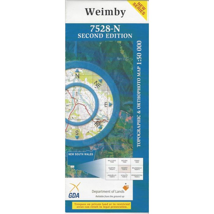
Weimby, 7528-N, 1:50,000 scale (2cm=1km) topographic map covering the junction of the Murray and Murrumbidgee Rivers, Waldaira Lake and the area between the Murray Valley Highway (Victoria) and the Sturt Highway (NSW). Orthophoto map image on reverse side.
In stock
SKU
7528-N
$16.70


Related Products
Check items to add to the cart or
| Publisher | LPI |
|---|---|
| Description | Weimby 1:50,000 scale topographic map and orthophoto, 7528-N, 2nd edition, 2005, LPINSW. |
Write Your Own Review