Warburton Topographic Map - SJ55-06
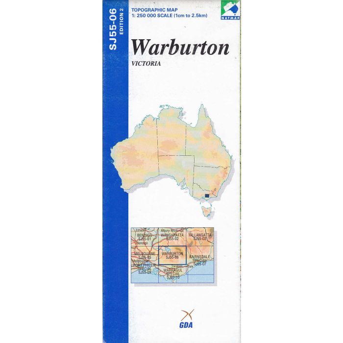
Warburton, SJ55-06, 1:250,000 scale topographic map covering the Victorian Alpine National Park and Great Dividing Range between Healesville, Mansfield, and Maffra,
In stock
SKU
SJ55-06
$9.75


Related Products
Check items to add to the cart or
| Publisher | Geoscience Australia |
|---|---|
| Description | Warburton 1:250,000 scale topographic map, SJ55-06, Edition 2, 2002, Geoscience Australia. Spatial Extent : N LAT: -37.0 W LONG: 145.5 S LAT: -38.0 E LONG: 147.0 Comments : This map is normally supplied as a folded version, contact us if you need a flat version. Series information: The series covers the whole of Australia with 513 maps at 1:250,000 scale Topographic Map (4cm=1km) Currency: Ranges from 1995 to 2012. 95% of maps have a reliability date of 1994 or later. Coordinates: Geographical and MGA ; Datum: GDA94, AHD; Projection: Universal Traverse Mercator (UTM) Comments : This map is normally supplied as a folded version, contact us if you need a flat version. |
Write Your Own Review