Walk The Yorke Map 6 - Marion Bay to Gleesons Landing
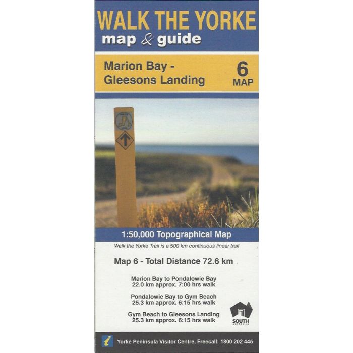
Map 6 covering the Walk The Yorke walking and cycling trail for 47km from Marion Bay to Gleesons Landing via Stenhouse Bay and Innes National Park. 1:50,000 scale map covers the walk, cycle and combined WTY routes showing topographic detail and town facilities.
In stock
SKU
WTY6
$9.95

Related Products
Check items to add to the cart or
| Description | The Walk The Yorke Trail (WTY) is a combined walking and cycling trail extending 500km around Yorke Peninsula, South Australia. This series of maps at 1:50,000 scale (2cm=1km) topographic detail clearly displaying the trail as it winds along foreshore, clifftops, fields, bushland and country roads. |
|---|
Write Your Own Review