Uluru-Kata Tjuta National Park 100k Map
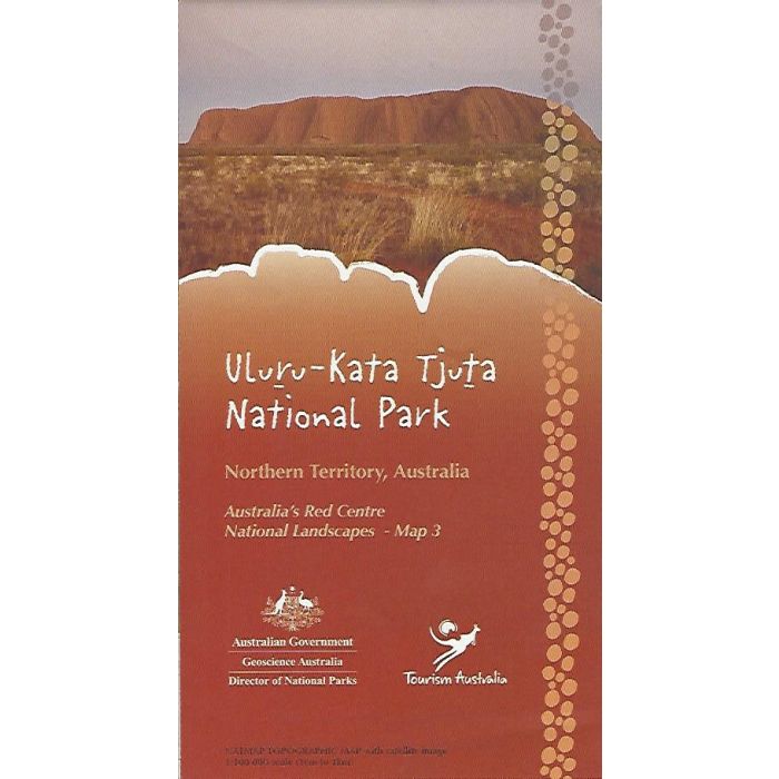
Uluru-Kata Tjuta National Park 1:100,000scale topographic map and aerial photograph image covering Yulara, The Olgas and Ayers Rock..
In stock
SKU
9314231000441
$11.95


Related Products
Check items to add to the cart or
| Publisher | Geoscience Australia |
|---|---|
| Description | Australia's Red Centre National Landscapes Map 3. Topographic detailed 1:100k scale map covering the Ayers Rock area. On the reverse side an orthophoto image of the overall area and detailed photographs of Uluru (Ayers Rock) and Kata Tjuta (The Olgas).
Uluru-Kata Tjuta National ParkRead our blog of Ayers Rock and some ideas to explore the area Ayers Rock – Planning an Adventurous 3 Day Itinerary |
Write Your Own Review