The Kimberley - Hema Maps
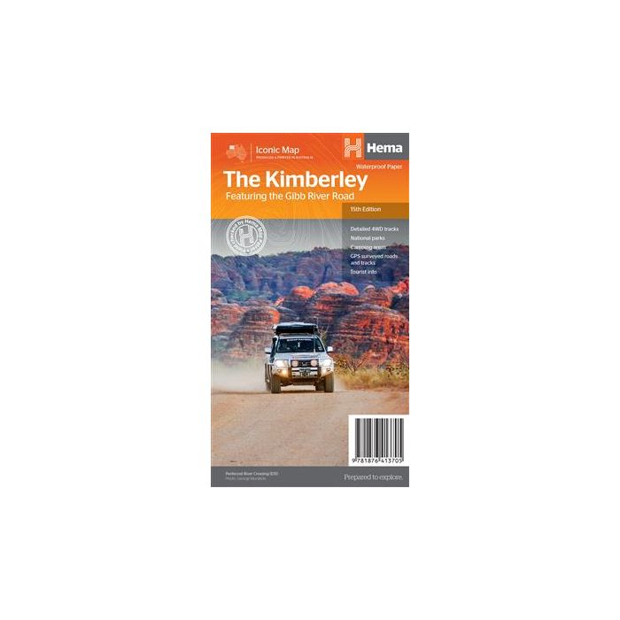
The Kimberley 4WD Map - Hema Maps, 15th edition.
With Gibb River Road, Dampier Peninsula, Purnululu National Park and Wyndham-Kununurra inset expanded maps and regional information. Waterproof Paper
In stock
SKU
HemaKim
$14.95


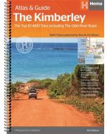
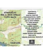
Related Products
Check items to add to the cart or
| Publisher | Hema Maps |
|---|---|
| Description | The Kimberley Map Featuring Gibb River Road - Hema Maps - New 15th Edition A regional map of the Kimberley that features the iconic Gibb River Road. On the reverse is touring information for each of the distinct regions of the Kimberley, as well as extensive drive detail and trip coverage for the Gibb River Road. ◾ Waterproof paper ◾Detailed 4WD tracks ◾National parks ◾Camping areas ◾GPS surveyed roads & tracks ◾GPS positions and grid 1:1,00,000 scale, 1000mm x 700mm folded to 250mm x 140mm |
Write Your Own Review