The Branch Topographic Map - 9332-4N
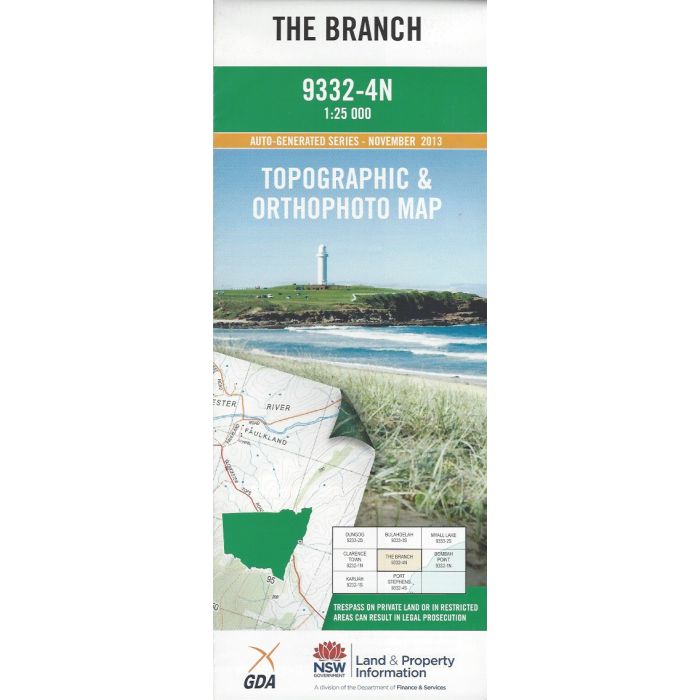
The Branch, 9332-4N, 1:25,000 scale topographic map covering part of Myall River, Bombah Broadwater, The Branch River and Port Stephens Great Lakes Marine Park. Orthophoto map image on reverse side.
In stock
SKU
9332-4N
$16.70


Related Products
Check items to add to the cart or
| Publisher | LPI |
|---|---|
| Description | The Branch 1:25,000 scale topographic map and orthophoto, 9332-4N, 2013, LPI NSW. |
Write Your Own Review