Talooby Topographic Map - 8932-4N
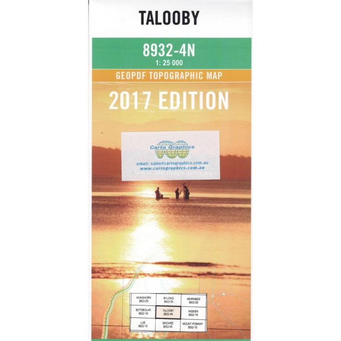
Galooby, 8932-4N, 1:25,000 scale topographic map covering Growee River valley, Bylong River headwaters and adjacent Wollemi National Park.
In stock
SKU
8932-4N
$16.70


Related Products
Check items to add to the cart or

| Publisher | LPI |
|---|---|
| Description | Talooby 1:25,000 scale topographic map, 8932-4N, 2017 Geopdf edition, Spatial Services NSW. Tis map can be laminated for extra durability in the field. |
Write Your Own Review