Taemas Bridge Topographic Map - 8627-1N
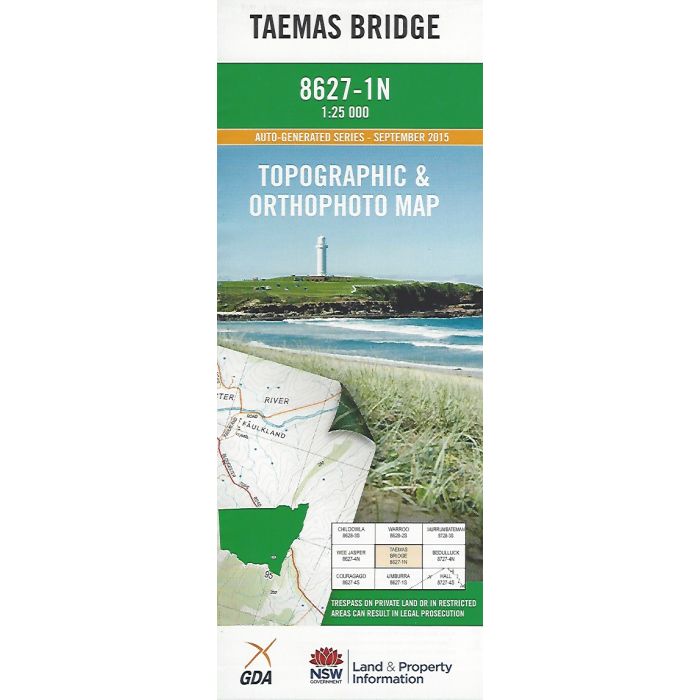
Taemas Bridge, 8627-1N, 1:25,000 scale (4cm=1km) topographic map covering the Murrumbidgee River valley to the North East of Canberra, between Dog Trap Crossing and the upper reaches of Lake Burrinjuck at Taemas Bridge extending West to Sawyers Creek and the Brindabella Range. Orthophoto map image on reverse sside.
In stock
SKU
8627-1N
$16.70


Related Products
Check items to add to the cart or
| Publisher | LPI |
|---|---|
| Description | Taemas Bridge 1:25,000 scale topographic map and orthophoto, 8627-1N, LPI NSW, 2015. |
Write Your Own Review