South Australia State Map - Carto Graphics
South Australia State Map - Carto Graphics
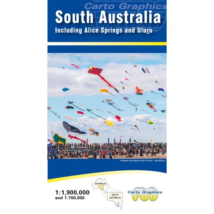
The main side features a full South Australia state map extending across state border to include Eucla (WA), Alice Springs & Yulara (NT), Boulia & Birdsville (Qld), Broken Hill (NSW) and Portland (Vic). Full road detail with mileages; parks & reserves; cities, towns and outback stations; elevation tinting. Fully indexed with lat/long grid. The reverse side gives an expanded coverage of the more densely populated portion of the state, from Port Lincoln and Port Augusta through Renmark to Mount Gambier.
In stock
SKU
CG-SA
$9.95


| Publisher | Carto Graphics |
|---|---|
| Description | South Australia State Map - Carto Graphics Double-sided large format map. Scale 1:1,900,000 and 1:700,000. Size 1000mm x 690mm folded to 250mm x 140mm. 2022 The main side features a full South Australia state map extending across state border to include Eucla (WA), Alice Springs & Yulara (NT), Boulia & Birdsville (Qld), Broken Hill (NSW) and Portland (Vic). Full road detail with mileages; parks & reserves; cities, towns and outback stations; elevation tinting. Fully indexed with lat/long grid. The reverse side gives an expanded coverage of the more densely populated portion of the state, from Port Lincoln and Port Augusta through Renmark to Mount Gambier. |
Write Your Own Review