Singleton Topographic Map - SI56-01
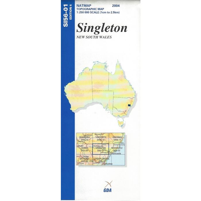
Singleton, SI56-01, 1:250,000 scale topographic map covering the Hunter Valley in NSW from Maitland to Scone and inland to Merriwa. Includes parts of Yengo, Wollemi, Gouburn River and Barrington Tops National Parks.
In stock
SKU
SI56-01
$9.75


Related Products
Check items to add to the cart or
| Publisher | Geoscience Australia |
|---|---|
| Description | Singleton 1:250,000 scale topographic map,SI56-01, 4th edition, 2005, Geoscience Australia. Spatial Extent : N LAT: -32.0 W LONG: 150.0 S LAT: -33.0 E LONG: 151.5 Comments : This map is normally supplied as a folded version, contact us if you need a flat version. Series information: The series covers the whole of Australia with 513 maps at 1:250,000 scale Topographic Map (4cm=1km) Currency: Ranges from 1995 to 2012. 95% of maps have a reliability date of 1994 or later. Coordinates: Geographical and MGA ; Datum: GDA94, AHD; Projection: Universal Traverse Mercator (UTM) |
Write Your Own Review