Seventeen Mile Topographic Map - 5369-1
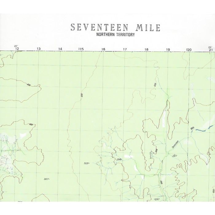
Seventeen Mile, 5369-1, 1:50,000 scale topographic map covering Seventeen Mile Creek valley as well as Ferguson River and Edith River headwaters in Nitmiluk (Katherine River) National Park. This map covers most of the route of the Jatbula Trail though the trail is not marked. Note: Datum AGD66 - adjust your GPS as required.
In stock
SKU
5369-1
$12.95

Related Products
Check items to add to the cart or
| Description | Seventeen Mile 1:50,000 topographic map, 5369-1, 20m contour, Datum AGD66, Australian Army, 1981. |
|---|
Write Your Own Review