Port Augusta Topographic Map - SI53-04
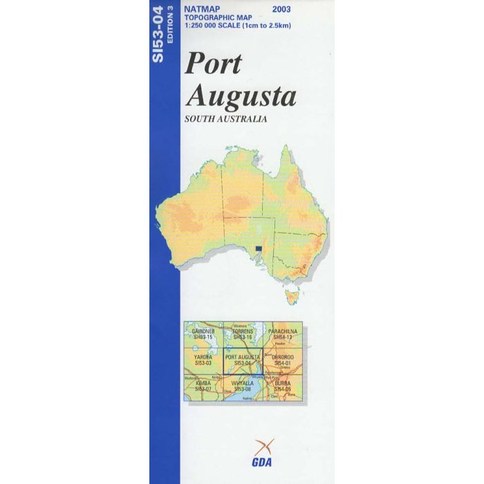
Port Augusta, SI53-04, 1:250,000 scale topographic map covering upper Eyre Peninsula from Port Augusta west to Lakes Gilles Conservation Park and Gawler Ranges including Iron Knob, Point Bonython and Baxter Range.
In stock
SKU
SI53-04
$9.75


Related Products
Check items to add to the cart or
| Publisher | Geoscience Australia |
|---|---|
| Description | Port Augusta 1:250,000 scale topographic map, SI53-04, Edition 3, 2004, Geoscience Australia NATMAP. Spatial Extent : N LAT: -32.0 W LONG: 138.5 S LAT: -33.0 E LONG: 138.0 Comments : This map is normally supplied as a folded version, contact us if you need a flat version. Series information: The series covers the whole of Australia with 513 maps at 1:250,000 scale Topographic Map (4cm=1km) Currency: Ranges from 1995 to 2012. 95% of maps have a reliability date of 1994 or later. Coordinates: Geographical and MGA ; Datum: GDA94, AHD; Projection: Universal Traverse Mercator (UTM) |
Write Your Own Review