Nangwarry Topographic Map - 7022-1
Nangwarry, 7022-1, 150,000 scale topographic map covering Nangwarry, Tarpeena, Dismal Swamp and part of Penola Forest in South Australia's south east.
In stock
SKU
7022-1
$12.50

Related Products
Check items to add to the cart or
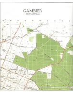
| Description | Nangwarry 1:50,000 scale topographic map, 7022-1, 2nd edition, South Australia. |
|---|
Write Your Own Review