Nangus Topographic Map - 8427-1N
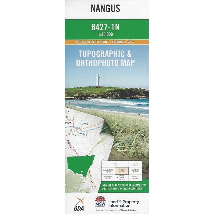
Nangus, 8427-1N, 1:25,000 scale topographic map covering the Murrumbidgee River and adjacent country downstream from Gundagai to Hillas Creek junction . Orthophoto map image on reverse side.
In stock
SKU
8427-1N
$16.70


Related Products
Check items to add to the cart or
| Publisher | LPI |
|---|---|
| Description | Nangus 1:25,000 scale topographic map and orthophoto, 8427-1N, 2012, LPI NSW. |
Write Your Own Review