Mount Tolmer Topographic Map - 5071-4
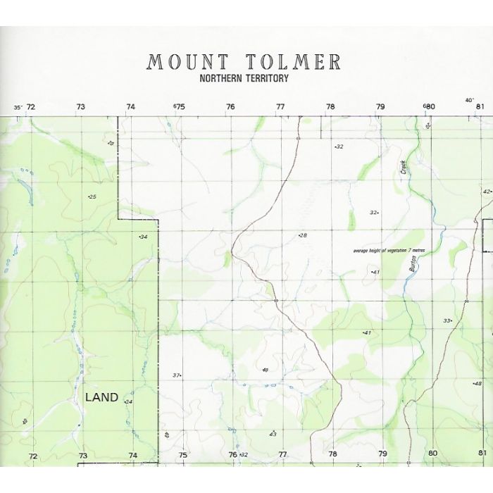
Mount Tolmer, 5071-4, 1:50,000 scale topographic map covering Wangi and Welltree Stations, part of Wagait Aboriginal Land and the north-western portion of Litchfield National Park including Bamboo Creek, Woolaning, Wangi Falls, Tolmer Falls and the Lost City. This map pre-dates the creation of Litchfield Park and construction of the Litchfield Park Road.
In stock
SKU
5071-4
$12.00

Related Products
Check items to add to the cart or

| Description | Mount Tolmer 1:50,000 scale topographic map, 5071-4, Datum AGD66, 1984, Australian Army. |
|---|
Write Your Own Review