Morna Point Topographic Map 25k - 9332-3N
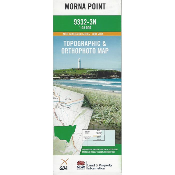
Morna Point 1:25,000 scale topographic map covering an area of coast from Fingal Bay, Samurai Beach, One Mile, Boat Harbour, Anna Bay and northern Stockton Beach(Worimi Regional Park), extends inland to Tiligerry Creek at Bobs Farm. Orthophoto map image on reverse side.
In stock
SKU
9332-3N
$16.70


Related Products
Check items to add to the cart or
| Publisher | LPI |
|---|---|
| Description | Morna Point topographic map and orthophoto, 1:25,000 scaale, 9332-3N, LPI NSW, 2015. |
Write Your Own Review