Meadow Flat Topographic Map - 8831-2S
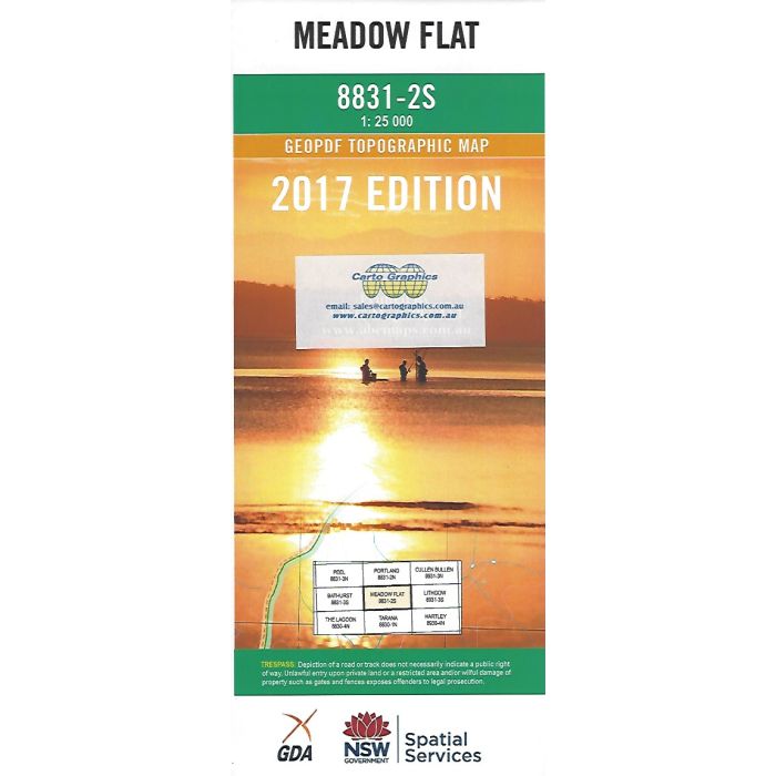
Meadow Flat, 8831-2S, 1:25,000 scale topographic map covering the area either side of Great Western Highway between Thompson Creek Reservoir and Walang, including Yetholme, Kirkconnell, Mount Lambie and sections of Sunny Corner State Forest, Winburndale Nature Reserve and Eusdale Nature Reserve.
In stock
SKU
8831-2S
$16.70


Related Products
Check items to add to the cart or
| Publisher | LPI |
|---|---|
| Description | Meadow Flat 1:25,000 scale topographic map, 8831-2S, 2017 Geopdf edition, LPI NSW. This map can be laminated and refolded for extra durability in the field. |
Write Your Own Review