Mawson Trail Section 1 Map 2 - Tanunda To Riverton
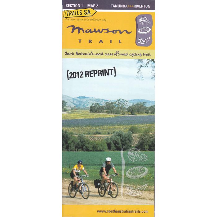
Mawson Trail Section 1 Map 2 - Tanunda To Riverton. Through Nuriootpa, Kapunda and Light Range. 1:75,000 scale topographic route map with elevation profiles and section notes. Printed on waterproof, tear resistant paper.
In stock
SKU
Mawson 1/2
$10.95

Related Products
Check items to add to the cart or
| Description | Mawson Trail Section 1 Map 2 - Tanunda To Riverton Through Nuriootpa, Kapunda and Light Range. 1:75,000 scale topographic route map with elevation profiles and section notes. Printed on waterproof, tear resistant paper. Starting just north of Adelaide and travelling to the Outback town of Blinman in the Flinders Ranges, the Mawson Trail is the ideal option for mountain bikers wanting to travel through South Australia' s remote rural areas. Close to nine hundred kilometres long, the trail includes little-used country roads, State forest and national park fire trails, farm access tracks and unmade or unused road reserves. It avoids traffic and bitumen roads and leads cyclists into the remote areas of the Ranges. |
|---|
Write Your Own Review