Malmsbury Topographic Map - 7723-N
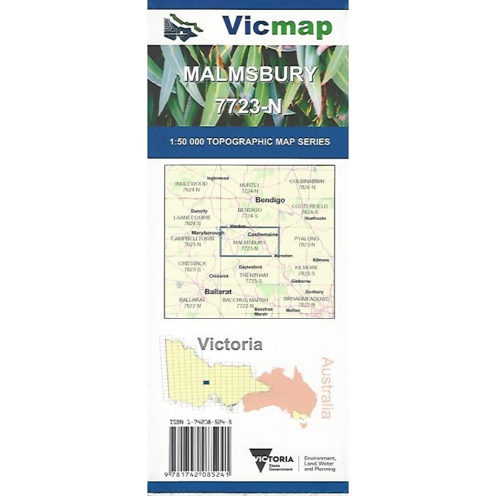
Malmsbury, 7723-N, 1:50,000 scale topographic map covering the Victorian Goldfields region between the Lodden and Campaspe Rivers, including Curran and Malmsbury Reservoirs, Kyneton, Castlemaine, Newstead, Maldon and the Castlemaine Diggings National Heritage Park.
In stock
SKU
7723-N
$12.00


Related Products
Check items to add to the cart or
| Publisher | Vicmap |
|---|---|
| Description | Malmsbury 1:50,000 scale topographic map, 7723-N, 2nd edition, 2016, Vicmap. |
Write Your Own Review