Lord Howe Island Topographic Map - 0734-4N
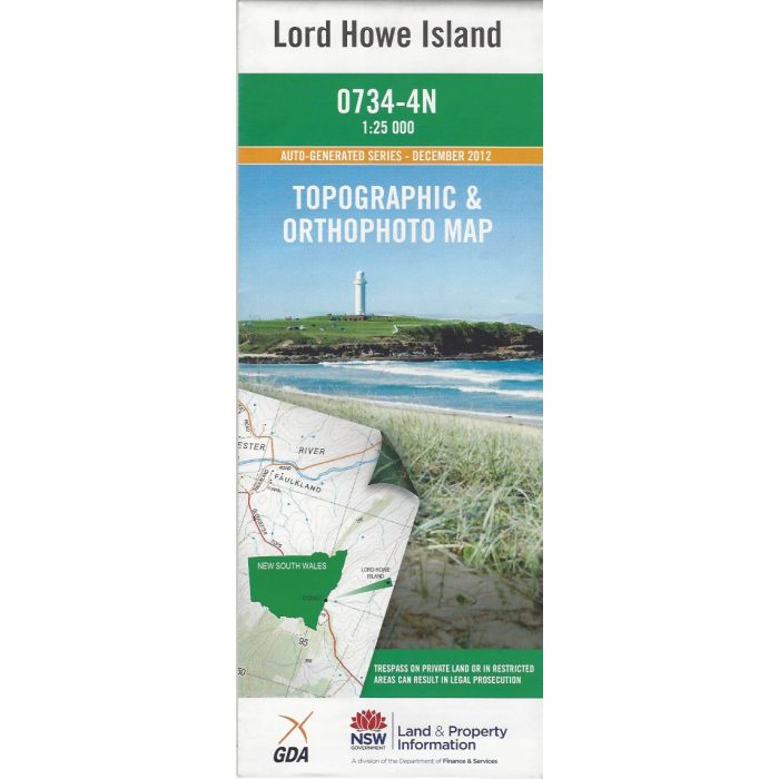
Lord Howe Island, 0734-4N, 1:25,000 scale (4cm=1km) topographic map covering Lord Howe Island, Admiralty Island with Balls Pyramid inset. Orthophoto image on reverse side.
In stock
SKU
0734-4N
$16.70


Related Products
Check items to add to the cart or
| Publisher | LPI |
|---|---|
| Description | Lord Howe Island 1:25,000 scale topographic map and orthophoto , 2012, LPI NSW. Not for Marine Navigation. |
Write Your Own Review