Kosciuszko Northern Activities Map - Tumut-Kiandra - Rooftop
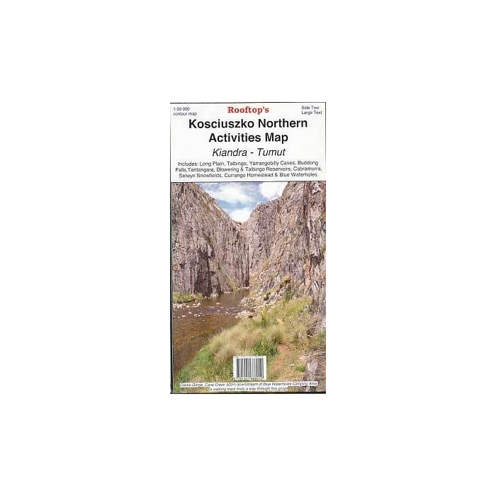
Kosciuszko Northern 1:50,000 scale topographic-style map covering the area from Tumut to Brindabella through Kosciuszko National Park to Cabramurra, Kiandra and Eucumbene River. Extensive on-map notes and hints. The ideal map for walking and exploring this area.
In stock
SKU
RKosNor
$15.95


Related Products
Check items to add to the cart or
| Publisher | Rooftop Maps |
|---|---|
| Description | Kosciuszko Northern Activities Map Tumut - Kiandra 1:50,000 scale, double sided, 1005mm x 750mm folded to 250mm x 135mm. Rooftop Maps, 2011. Includes Long Plain, Talbingo, Yarrongobilly Caves, Buddong Falls, Tantangara, Blowering and Talbingo Reservoirs, Cabramurra, Selwyn Snowfields, Currango Homestead, Blue Waterholes and Brindabella. |
Write Your Own Review