Kinyapanial Topographic Map - 7625-S
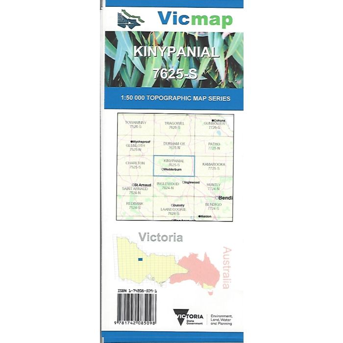
Kinyapanial, 7625-S, 1:50,000 scale (2cm=1km) Victorian topographic map covering Wedderburn and surrounding reserves, Mount Kerang Range, Korong Vale, Mount Korong, Loddon River and Serpentine.
In stock
SKU
7625-S
$12.00


Related Products
Check items to add to the cart or
| Publisher | Vicmap |
|---|---|
| Description | Kinyapanial 1:50,000 scale topographic map, 7625-S, 4th edition, 2018, Vicmap. |
Write Your Own Review