Ilford Topographic Map - 8832-2S
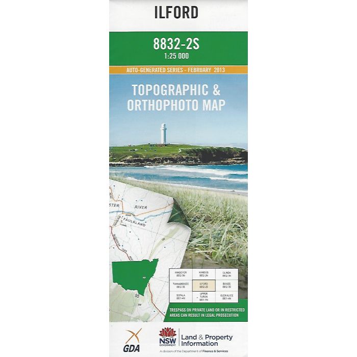
Ilford, 8832-2S, 1:25,000 scale topographic map covering Ilford and the Crudine River valley, Clandulla, Charbon, Clandulla State Forest and esast to the Great Dividing Range. Orthophoto map image on reverse side.
In stock
SKU
8832-2S
$16.70


Related Products
Check items to add to the cart or

| Publisher | LPI |
|---|---|
| Description | Ilford 1:25,000 scale topographic map and orthophoto, 8832-2S, LPI NSW, 2013. |
Write Your Own Review