High Country South East Map - Hema Maps
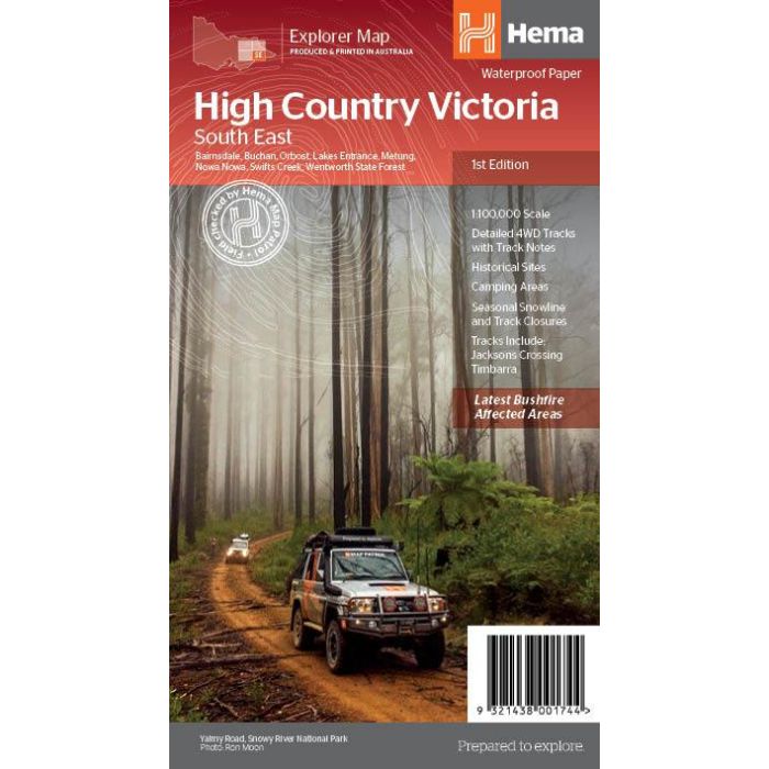
1:100,000 scale map covering the south-eastern portion of Victoria's high country and nearby area including Bairnsdale, Buchan, Orbost, Lakes Entrance, Metung, Nowa Nowa, Swifts Creek and Wentworth State Forest.
In stock
SKU
Hema HCSE
$14.95


Related Products
Check items to add to the cart or
| Publisher | Hema Maps |
|---|---|
| Description | This map is part of Hema's new Victorian High Country Map Series and covers the Southern Lowlands and Lakes area including Gippsland and Snowy River National Park. Printed on durable waterproof paper, this map features Hema's iconic mapping and extensive points of interest. Featuring roads and 4WD tracks field-checked by the Hema Map Patrol for superior accuracy. It combines Hema’s entire database of roads and 4WD tracks with touring points of interest and topographic information. Also included are seasonal track closures, camping areas, old townsites, huts, accommodation and distances. Key Features 4WD tracks Huts Camping areas Old townsites Seasonal track closures Road distances Accommodation 1st edition, 2020 |
Write Your Own Review