High Country North West Map - Hema Maps
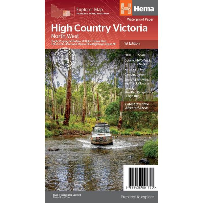
1:100,000 scale map of the north-western portion of Victoria's high county including Beechworth, Bright, Bogong, Dinner Plain, Mt Buffaalo, Mt Buller, Falls Creek, Glenrowan, Milawa, Mansfield, Mount Beauty and Mitta Mitta.
From Hema Maps, 1st edition, 2020.
In stock
SKU
Hema HCNW
$14.95


Related Products
Check items to add to the cart or
| Publisher | Hema Maps |
|---|---|
| Description | The Victorian High Country - North Western Map (1st edition). This map is part of Hema's new Victorian High Country Map Series and covers the North Western Alps Area including Hotham, Wangaratta and surrounds. Printed on durable waterproof paper, this map features Hema's iconic mapping and extensive points of interest. Featuring roads and 4WD tracks field-checked by the Hema Map Patrol for superior accuracy. It combines Hema’s entire database of roads and 4WD tracks with touring points of interest and topographic information. Also included are seasonal track closures, camping areas, old townsites, huts, accommodation and distances. Key Features 4WD tracks Huts Camping areas Old townsites Seasonal track closures Road distances Accommodation |
Write Your Own Review