Girralong Topographic Map - 9436-4N
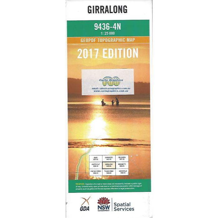
Girralong, 9436-4N, 1:25,000 scale topographic map covering the area between Kalang River and Nambucca River headwaters including Juugawaarri Nature Reserve, Gumbaynggirr National Park and adjacent state forests and reserves.
In stock
SKU
9436-4N
$16.70


Related Products
Check items to add to the cart or
| Publisher | LPI |
|---|---|
| Description | Girralong 1:25,000 scale topographic map, 9436-4N, 2017 geopdf edition, LPI NSW. This map can be laminated and refolded for extra durability in the field. |
Write Your Own Review