Flinders Ranges Map - Carto Graphics
New edition coming soon.
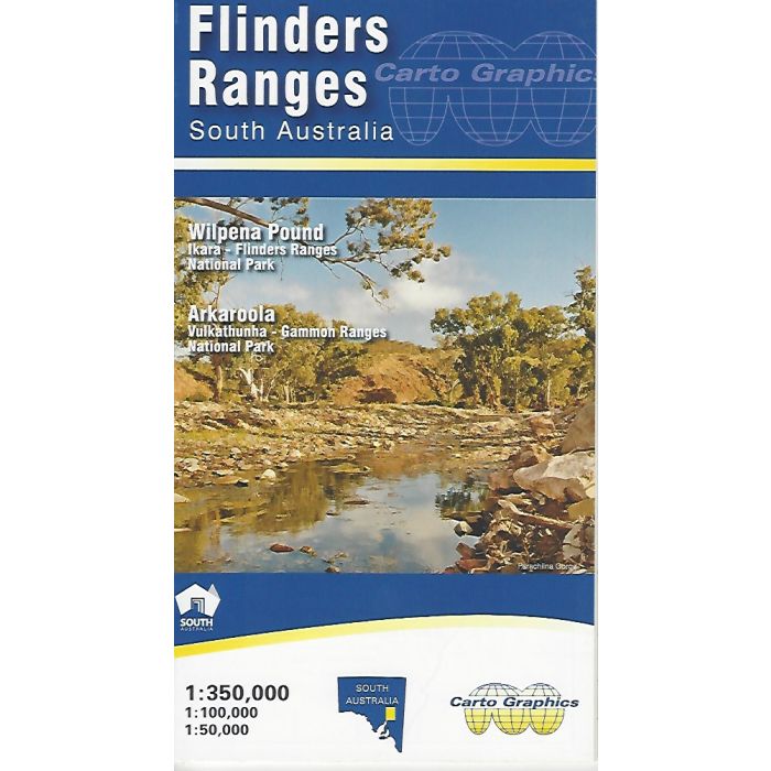
Flinders Ranges Map - Carto Graphics. 2021 edition. A double sided, multi scale, fold out map. The main map covers the Flinders Ranges area from Orroroo to Mount Freeling showing full road detail, parks, place names, trails and facilities. This map ideal for general touring and adventure planning.
The reverse side has four inset maps over significant areas in greater topographic detail for bushwalking and back track exploring.
Out of stock
SKU
CG-FLIN
$12.95


Related Products
Check items to add to the cart or
| Publisher | Carto Graphics |
|---|---|
| Description | Flinders Ranges Map - Carto Graphics. The front side covers the area from Yunta/Orroroo/Wilmington northwards to Farina/ Mt Freeling/Arkaroola at 1:350,000 scale. It shows full road and public track network, National, Conservation and private parks, Heysen & Mawson Trails, all overlaying an attractive hill-shaded backdrop with extensive geographical feature names. The reverse side features expanded scale, topographic style maps over selected popuar areas. Wilpena Pound is covered at high detail 1:50,000 scale suitable for walkers and general tourist use in this popular area. The Quorn/ Pichi Richi/ Dutchmans Stern and Mount Brown area is covered by a 1:100,000 scale map as is the Flinders Ranges National Park. Vulkathuna-Gammon Ranges National Park and Arkaroola Protected Area are covered in a single 1:200,000 scale map. All these maps show road and track detail, contours & hill shading, walking trails, campgrounds, and significant features. Also includes are tables for fuel availability, distance chart and station stays & drives. Size 690mm x 1000mm folded to 140mm x 250mm |
Write Your Own Review