Fleurieu Peninsula Wall Map - Carto Graphics
Fleurieu Peninsula Wall Map Laminated - Carto Graphics
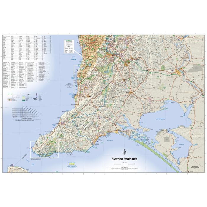
Wall Map covering the whole of the Fleurieu Peninsula area from Mannum, Tailem Bend and Meningie in the East; Lobethal and central Adelaide in the North. With complete major and minor road network, state and national parks, and significant walking trails.
1:150,000 scale, 1000mm wide x 690mm high.
Out of stock
SKU
CG FP Lam
$44.95


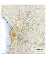
Related Products
Check items to add to the cart or
| Publisher | Carto Graphics |
|---|---|
| Description | Fleurieu Peninsula Laminated Wall Map. 1:150,000 scale, 1000mm wide x 690mm high. Fleurieu Peninsula Wall Map Laminated - Carto Graphics Wall Map covering the whole of the Fleurieu Peninsula area from Mannum, Tailem Bend and Meningie in the East; Lobethal and central Adelaide in the North. With complete major and minor road network, state and national parks, and significant walking trails. 1:150,000 scale, 1000mm wide x 690mm high. |
Write Your Own Review