Donkins Hill Topographic Map - 4068-3
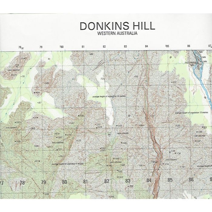
Donkins Hill, 4068-3, 1:50,000 scale army topographic map covering Mitchell River including Merton Falls, Mitchell Falls (upper and lower) and the country to the west as far as Hunter River in Western Australia's Kimberley region.
In stock
SKU
4068-3
$12.00

Related Products
Check items to add to the cart or
| Description | Donkins Hill 1:50,000 scale topographic map, 4068-3, 2003, WGS84 datum DIGO (Army map).. |
|---|
Write Your Own Review