Cape York Map - Hema Maps
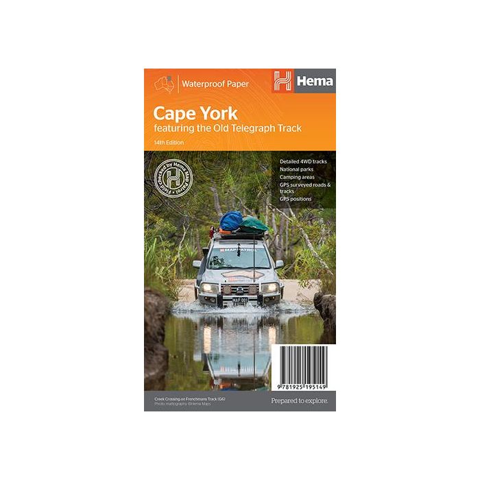
Cape York Map - Hema Maps, 14th edition. This brand new edition of Hema’s best-selling Cape York map, on durable waterproof paper, features their latest mapping and points of interest in a new cartographic style. It now features new inset maps for the CREB Track and Rinyirru (Lakefield) National Park. It combines Hema’s entire database of roads and 4WD tracks with touring points of interest and topographic information. Also included are camping areas, national parks, accommodation and distances.
In stock
SKU
HemaCY
$14.95


Related Products
Check items to add to the cart or
| Publisher | Hema Maps |
|---|---|
| Description | Cape York Map - Hema Maps, 14th edition. Updated mapping of Cape York that ranges from below Innisfail to the Tip, with numerous points of interest and GPS field-checked 4WD tracks marked on the map. On the reverse is a detailed map of the Tip (1:250,000), with tourist information for specific regions including around Cairns, Cooktown, Laura to Coen, North of Coen, Old Telegraph Track, Bamaga and The Tip, Down the Gulf and Thursday Island. Included is a list of travel basics as well as a step-by-step guide to traversing the Cape, going from Cairns to Cooktown, from Laura to Coen, north of Coen, Gulf Savannah Country and more. Included in each description are corresponding map coordinates to make planning your off-road adventure simpler. ◾The Tip 1:250,000 ◾Cape York 1:1,000,000 ◾GPS positions and grid ◾Inset featuring the CREB Track ◾Camping areas ◾National Parks |
Write Your Own Review