Burragorang NSW Topographic Map - 8929
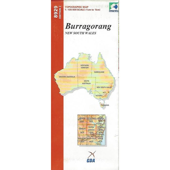
Burragorang 1:100 000 scale (1cm=1km) topographic map covering parts of Blue Mountains, Kanangra-Boyd and Nattai National Parks surrounding Wollondilly, Nattai and Wingecaribee Rivers and upper reaches of Lake Burragorang.
Out of stock
SKU
8929
$9.75


| Publisher | Geoscience Australia |
|---|---|
| Description | Burragorang 8929, 1:100 000 scale, NATMAP Edition 2, 2000. |
Write Your Own Review