Buller Topographic Map - 8123-N
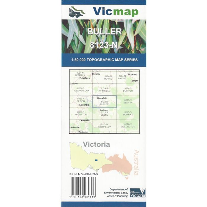
Buller, 8123-N, 1:50,000 scale (2cm=1km) topographic map covering Mansfield, Sawmill Settlement, Mount Buller, Howqua Hills, Goughs Bay, upper reaches of Lake Eildon, and Howqua and Delatite River valleys.
In stock
SKU
8123-N
$12.00


Related Products
Check items to add to the cart or
| Publisher | Vicmap |
|---|---|
| Description | Buller 1:50,000 scale topographic map, 8123-N, 2nd edition, 2015, Vicmap. |
Write Your Own Review