Bourke Topographic Map 100k - 8037
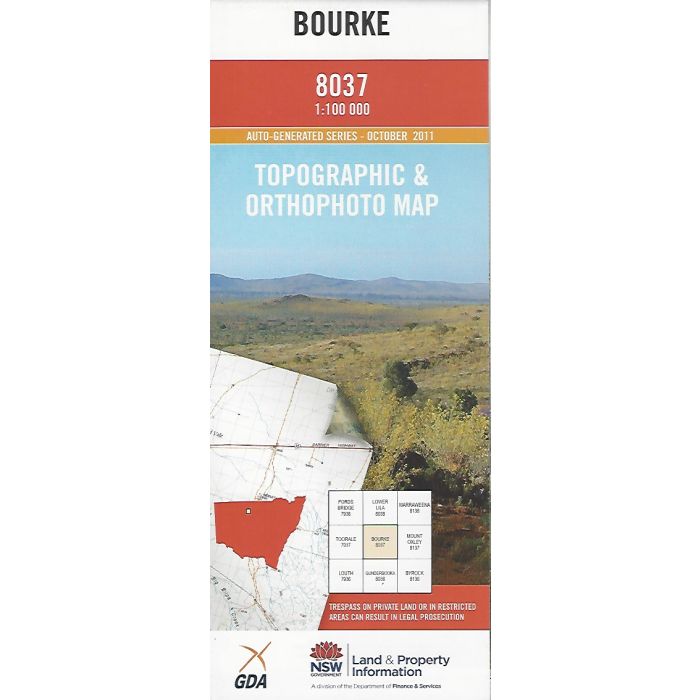
Bourke, 8037, 1:100,000 scale (1cm=1km) NSW topographic map covering Bourke township and the Darling River downstream including Gundabooka National Park and part of Toorale National Park. Orthophoto map image on reverse side.
In stock
SKU
8037
$16.70


Related Products
Check items to add to the cart or
| Publisher | LPI |
|---|---|
| Description | Bourke 1:100,000 scale topographic map and orthophoto, 8037, LPI NSW, 2011. |
Write Your Own Review