Botany Bay Topographic Map - 9130-3S
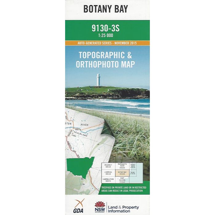
Botany Bay, 9130-3S, 1:25,000 scale (4cm=1km) topographic map covering metropolitan Sydney between Edgecliff, La Perouse, Picnic Point and Chester Hill including Port Botany , Sydney Airport, Centennial Park, Georges River, Cooks River, Rookwood and Bankstown. Orthophoto map image on reverse side.
In stock
SKU
9130-3S
$16.70


Related Products
Check items to add to the cart or
| Publisher | LPI |
|---|---|
| Description | Botany Bay 1:25,000 scale topographic map and orthophoto, 2015, LPI NSW. |
Write Your Own Review