Bombah Point Topographic Map - 9332-1N
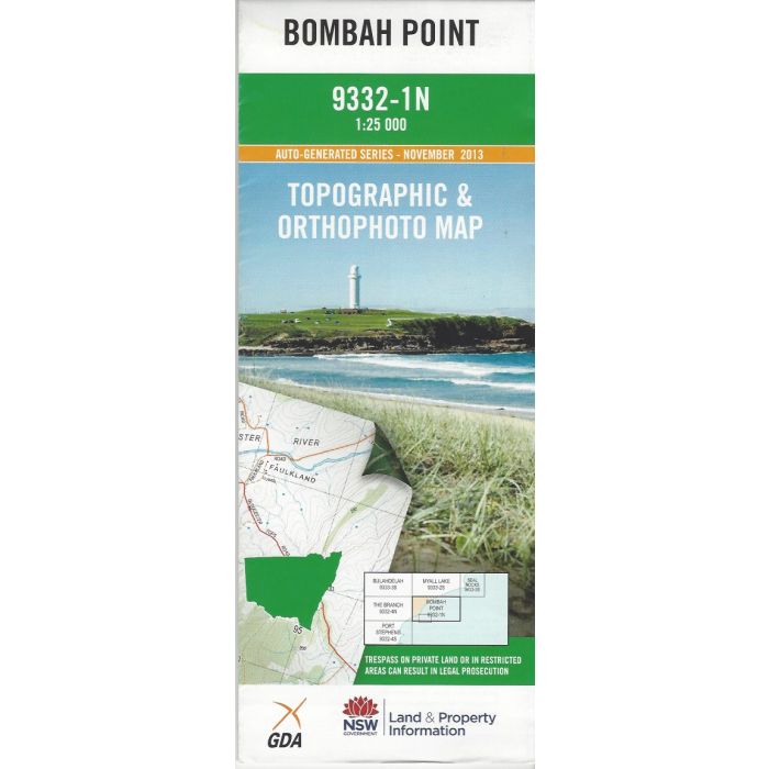
Bombah Point, 9332-1N, 125,000 scale (4cm=1km) topographic map covering Bombah Broadwater, Mungo Brush and Myall River in Myall Lakes National Park plus Broughton Island and surrounds. Orthophoto map image on reverse side.
In stock
SKU
9332-1N
$16.70


Related Products
Check items to add to the cart or
| Publisher | LPI |
|---|---|
| Description | Bombah Point 1:25,000 scale topographic map and orthophoto, 9332-1N, auto-generated series 2013, LPI NSW. |
Write Your Own Review