Bodalla Topographic Map 25k - 8925-4N
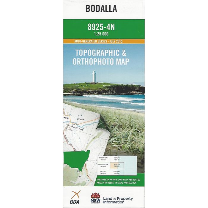
Bodalla, 8925-4N, 1:25,000 scale topographic map covering NSW South Coast around Tuross River estuary including Bodalla, Potato Point, Tuross Head, Coila Lake and inland to Moruya State Forest. Orthophoto map image on reverse side.
In stock
SKU
8925-4N
$16.70


| Publisher | LPI |
|---|---|
| Description | Bodalla 1:25,000 scale topographic map and orthophoto, 8925-4N, 2015, LPI NSW. |
Write Your Own Review