Blue Mountains South Map
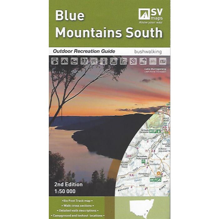
Blue Mountains South Outdoor Recreation Map & Guide - Spatial Vision.
1:50,000 scale topographic standard map of the southern portion of the Blue Mountains. Coverage ranges from Kanangra-Boyd National Park and Lake Burragorang to Jamison and Megalong Valleys and the Great Western Highway. The reverse side has an inset map covering the Six Foot Track from Katoomba to Jenolan Caves as well as extensive information and track notes on some of the many shorter walks in the Blue Mountains.
In stock
SKU
SV-BMS
$13.95


Related Products
Check items to add to the cart or
| Publisher | Spatial Vision |
|---|---|
| Description | Blue Mountains South Outdoor Recreation Map & Guide, 2nd Edition, 2018 - Spatial Vision. Size 1000mm x800mm folded to 250mm x 140mm. |
Write Your Own Review