Big Hill Topographic Map - 9336-4S
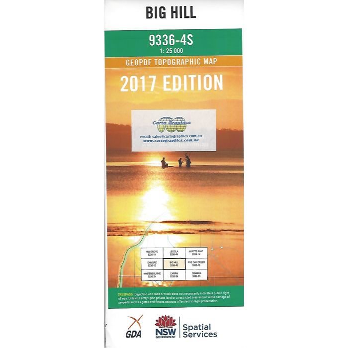
Big Hill, 9336-4S, 1:25,000 scale topographic map covering part of the Wild Rivers area in northern NSW including Styx River State Forest, Georges Creek Nature Reserve, Oxley Wild Rivers National Park and Cunnawarra National Park.
In stock
SKU
9336-4S
$16.70


Related Products
Check items to add to the cart or

| Publisher | LPI |
|---|---|
| Description | Big Hill 1:25,000 scale topographic map, 9336-4S, 2017 Geopdf edition, NSW Spatial Services. This map may be laminated and refolded for extra durability in the field. |
Write Your Own Review