Bibbulmun Map Pack South
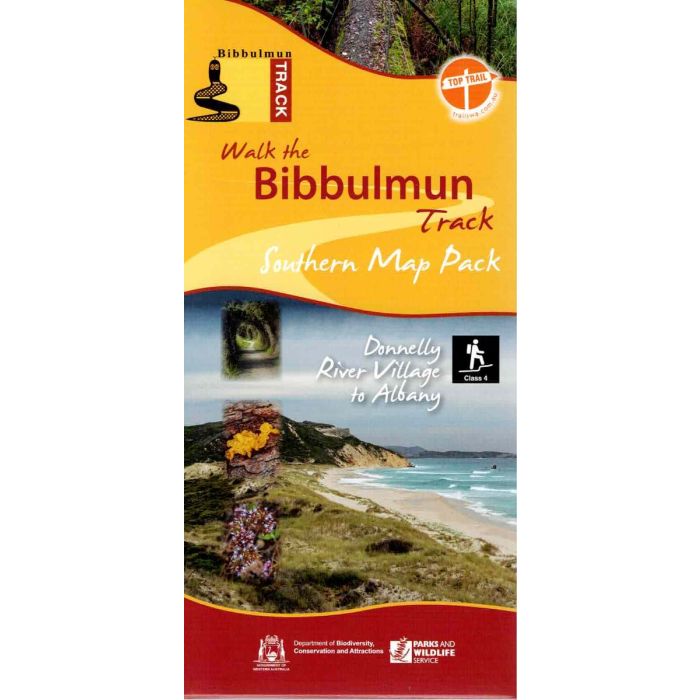
This pack of four double-sided maps covers the southern 503km of the Bibbulmun Track from Donnelly River Village to Albany, from the heart of the Karri forest to the rugged southern coast. Topographic standard, 1:50,000 scale with UTM and Lat/Long coordinates printed on waterproof, tear-resistant paper. Maps show permitted vehicle access points, disease risk areas, campsites, terrain profiles, distance tables, Track town inset maps and much more.
In stock
SKU
BibbSouth
$47.95

Related Products
Check items to add to the cart or
| Description | This map pack is currently unavailable, individual maps are still available. The Bibbulmun Track stretches 1000km from Perth to Albany traversing some of the most beautiful country in Australia's south-west corner. The track is mapped at 1:50,00 scale (2cm=1km) in a series of eight maps, printed on waterproof, tear-resistant paper. This pack covers includes the four southern maps from Donelly River to Albany. Maps included; Map 5 - Pemberton: Donnely River Village to Middleton Road. Map 6 - Northcliffe: Middleton Road to Broke Inlet Road. Map 7 - Walpole: Broke Inlet Road to William Bay. Map 8 - Denmark/Albany: William Bay to Albany. |
|---|
Write Your Own Review