Bibbulmun Map Pack North
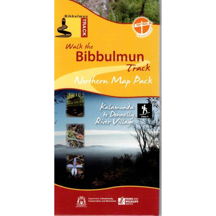
This pack of four double-sided maps covers the northern 462km of the Bibbulmun Track from Kalamunda to Donnelly River Village, from the edge of suburban Perth to the heart of the Karri forest. Topographic standard, 1:50,000 scale with UTM and Lat/Long coordinates printed on waterproof, tear-resistant paper. Maps show permitted vehicle access points, disease risk areas, campsites, terrain profiles, distance tables, Track town inset maps and much more.
In stock
SKU
BibbNorth
$47.95

Related Products
Check items to add to the cart or
| Description | The Bibbulmun Track stretches 1000km from Perth to Albany traversing some of the most beautiful country in Australia's south-west corner. The track is mapped at 1:50,00 scale (2cm=1km) in a series of eight maps, printed on waterproof, tear-resistant paper. This pack covers includes the four northern maps from Kalamunda to Donnelly River Village. Maps included; Map 1 - Darling Range: Kalamunda to North Bannister. Map 2 - Dwellingup: North Bannister to Quindanning Road. Map 3 - Collie: Quindanning Road to Mumbalup. Map 4 - Blackwood: Mumbalup to Donnelly River Village. |
|---|
Write Your Own Review