Bendoura Topographic Map 8826-4N
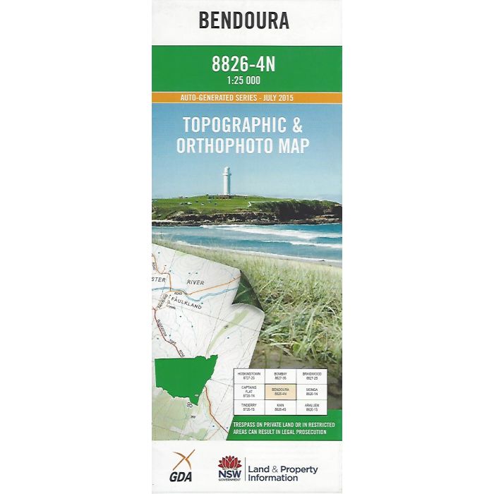
Bendoura 1:25,000 scale topographic map, 8826-4N, covering part of Tallaganda State Forest, Shoalhaven River and east to Majors Creek. Orthophoto image on reverse side.
In stock
SKU
8826-4N
$16.70


Related Products
Check items to add to the cart or
| Publisher | LPI |
|---|---|
| Description | Bendoura Topographic Map and orthophoto, 1:25,000 scale, 8826-4N, 2015,LPI NSW |
Write Your Own Review