
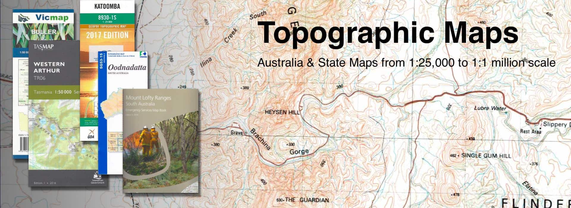
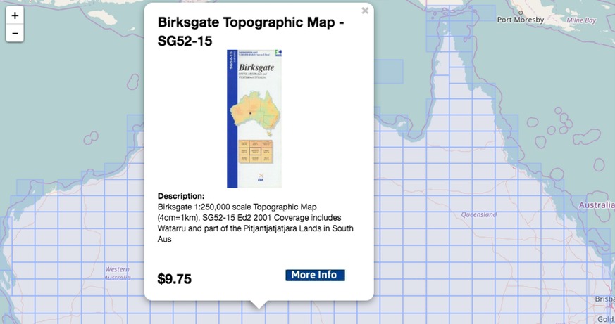
Topographic Map Finder
Our map finder makes life easier by helping you find the topo sheets with an interactive map finder. You can find all the details by selecting the map scale and hovering your mouse over the area of your interest. If you like what you see, simply add to your cart or go in to view more details.
Why not try for yourself....
Our Brands