Willoughby Topographic Map - 65263
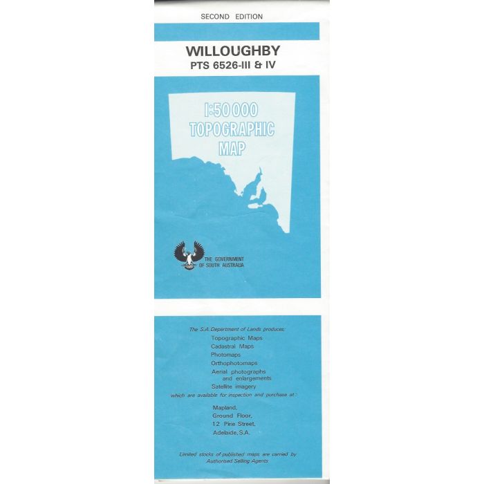
Willoughby, 6526-3, 1:50,000 scale topographic map covering eastern Dudley Peninsula on Kangaroo Island from Bald Hill to False Cape, including Antechamber Bay, Chapman River, Cape Willoughby and Cape Hart Conservation Park.
In stock
SKU
65263
$12.50

Related Products
Check items to add to the cart or
| Description | Willoughby 1:50,000 scale topographic map, 6526-3, 2nd edition, South Australia. |
|---|
Write Your Own Review