Top End And Gulf Map - Hema Maps
Top End And Gulf Map - Hema Maps,7th edition.
In stock
SKU
Hema TopEndGulf
$14.95


| Publisher | Hema Maps |
|---|---|
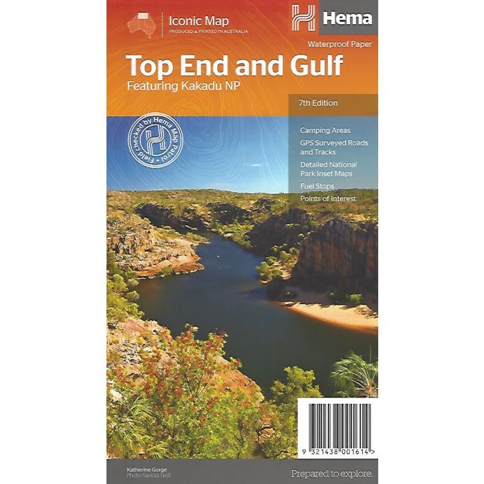
| Description | Top End And Gulf Map - Hema Maps, 7th edition A regional map of the Top End and Gulf for discovering the region by 4WD. Combining with the main map are inset maps of the Darwin region, Gregory National Park, Nhulunbuy, Keep River National Park and Boodjamulla (Lawn Hill) National Park. There is additional tourist information for Arnhem Land, the Roper River trek, Darwin region, Douglas-Daly district, Nature’s Way, Victoria Highway, Katherine Region and the Stuart Highway Region. Marked on the map are camping areas, GPS surveyed roads and tracks, fuel, and more information for 4WD tourers. ◾GPS surveyed roads and tracks ◾Detailed national park inset maps ◾Camping areas ◾Fuel ◾What to see and do |
Write Your Own Review